Rivers Alliance was formed to fight for sound water policies at the state and federal levels, to provide education on water resources, and to advocate for any person or group striving to protect water. If you want clean, free-flowing and healthy rivers, and high-quality drinking water, Rivers Alliance is here to help.
Some quick facts about Connecticut’s waters
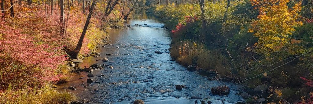
- 5,830 miles of rivers and streams
- More than 3,500 lakes and ponds
- 618 miles of tidal shoreline
- 4,000+ dams (3,000 too many!)
- There are 3 major watershed basins and 5 coastal watershed basins in Connecticut
- More than 30 major public drinking water reservoirs
- The highest legal drinking water standards in the United States
Selection of helpful tools & resources
We’ve collected helpful resources and tools that we use on a regular basis that will also help you protect and restore your local waters. When we come across some cool tools and story maps that help you explore your waters we share that, too! We hope you find these resources helpful and informative.
-
-
-
-
-
-
-
-
- CT Eco Simple Map Viewer
Where do we go to get information about a particular water resource? We use CT Eco’s simple map viewer. Zoom in on the resource you are interested in, then click on Layer List and select the attribute you would like to view. - Wild Edges: Healthy Waters
Protecting Our Streams, Lakes, and Rivers Starts at the Edge. Healthy waterways begin at their edges, where trees, shrubs and plants – aka vegetated aka riparian buffers – act as a superhero to protect our waters and our communities. Connecticut needs Waterway Protection Zones that feature vegetated buffers. Learn more and find resources on this page. - Local Watershed Assessment Tool
With the information and tools on this website, you can explore the landscape of your area and its relationship to the overall health of your local watersheds within Connecticut. - Be River Smart!
The River Smart initiative aims to provide individuals, businesses, and municipalities with the information and tools to create areas that will naturally absorb and filter runoff, reduce chemical use, and conserve water. - Public Water Supply Watershed Map Viewer
The purity and adequacy of Connecticut’s approximately 4,000 surface and ground water drinking water supply sources is extremely important. Is there a land-use change or activity somewhere that you think may be an aquifer protection area or drinking water watershed? Click here to find out! - Chloride Data for Streams in Connecticut, Massachusetts and Rhode Island
Resources
Interactive Map - Faucets to Forests 2.0
Explore your Watershed! - River Runner
Drop a virtual raindrop anywhere in the contiguous United States and watch where it ends up! - Fish Passage Portal
The portal is a “one-stop shop” for anyone who needs information, funding, or resources to improve fish passage and aquatic connectivity projects. We provide landowners and public lands managers the tools to find funding across the federal government, as well as access to data, planning, and geospatial information. - Water Sports: A Beginners Guide to Kayaking
Our friend Conner found this link when doing research for his Canoeing and Kayaking Boy Scout Merit Badge. He found this site extremely helpful and shared it with us so we could share it with you. It’s a great resource. Thanks Conner! - The Practitioner’s Guide to Hydropower Dam Removal
American Rivers and the Hydropower Reform Coalition are proud to present the Practitioner’s Guide to Hydropower Dam Removal. This is a comprehensive guide for dam owners and practitioners on removing hydropower dams regulated by the Federal Energy Regulatory Commission (FERC). Removing dams is a common practice and a good option for dam owners or licensees who determine that the expense of ownership is too great relative to the benefits provided by their dams.
- CT Eco Simple Map Viewer
-
-
-
-
-
-
-